Draft 3 Map Recap (Manchester @ La Tijera)
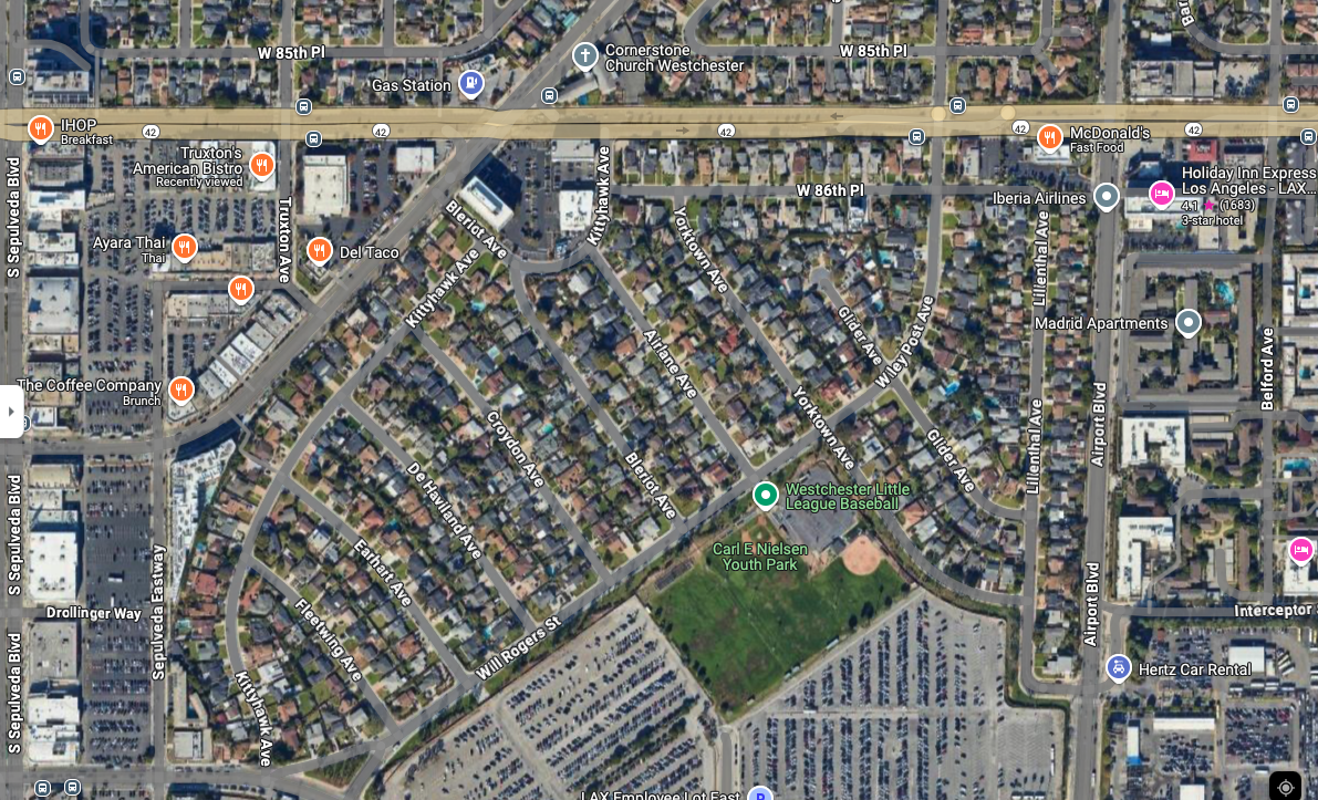
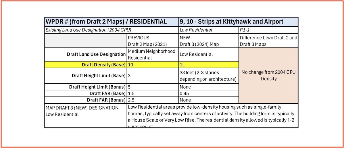
- Area: WPDR 9 & 10 / Manchester @ La Tijera
- Change in Land Use Designation and Density Base
- Building Size Density Base 1L
- Height Limit (Base) = 33′ (2-3 stories)
- Floor Area Ratio (FAR / Base) = 0.45:1
Our Concern
Despite the current prohibition on any up-zoning of R1 parcels, we see these two areas as logical transitional spaces between “inner R1” neighborhoods and adjacent commercial, high-density zoning categories.
Our Map Change Recommendations
#1: Upzone WPDR 9 & 10 but not to the Density Base 10 recommended in Draft 2 maps. Rather, up-zone these to DB4L, making these areas transitional to what’s opposite on La Tijera and Airport Blvd.
Density Base 4L specifications:
- Height (Base) = 3 stories
- Height (Bonus) = not available
- FAR (Base) = 1:1
- FAR (Bonus) = not available
By up-zoning these perimeter areas, it creates Low Rise housing that’s proximate (walkable) to commercial and transit areas. It also transitions more gently from R1 to the higher density areas immediately across La Tijera (WPDR 9) and Airport Boulevard (WPDR 10)
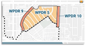
Draft 2 Map:
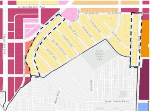
Draft 3 Map:
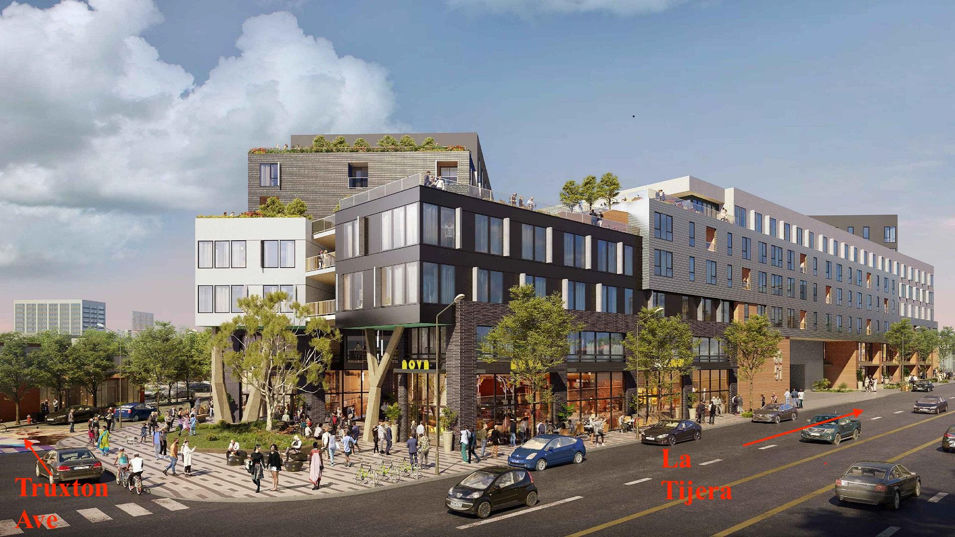
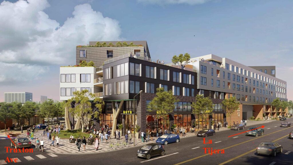
CityView Project, building face on La Tijera. (Opposite WPDR 9)
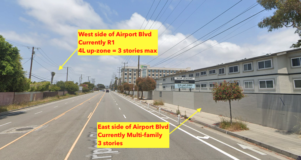
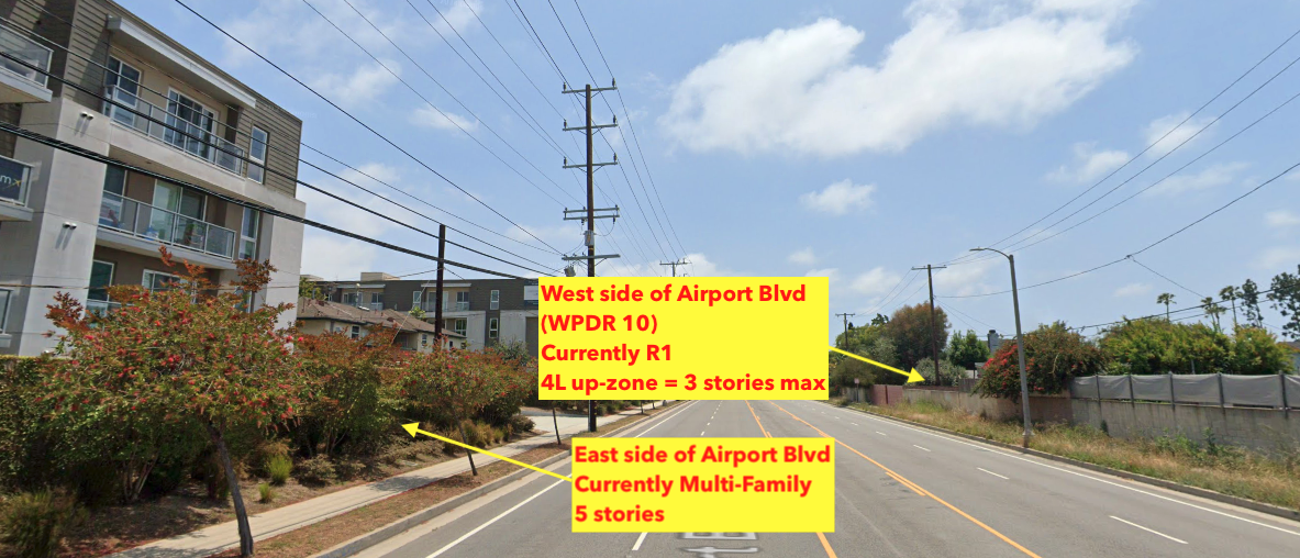
Current density on Airport Boulevard. (Opposite WPDR 10)
Planning Definitions – Westside Community Plan Updates GPLU (2023)
General Plan Land Use (GPLU) – the basic character and functionality of a specific area, as defined by the options for land use in the City of LA’s General Plan for Housing.
